The Upper Amazon Basin
I often fall in love with wild places; the upper Amazon basin is now one of my loves. I had expected hot and humid weather that left me unable to move, but no, the weather was perfect! Cooler than the summers here in Cerro Alegre (which are cooler than the summers in Fresno) and only mildly humid. Maybe I visited on a good week but it was wonderful!
A short list of the adventures: We swam in the birthplace of the Amazon, which is the concourse of two large rivers, the Rio Ucayall and Rio Marañon. The Rio Ucayall is the main tributary, it continues south to a mountain in the Andes south of Cañate. This is where the Amazon River starts. The Amazon begins is in the Peruvian Andes south of where I live.
We saw about 5 species of Monkeys, two dolphin species, the pink dolphin and the grey dolphin, as well as a couple of sloths. We each took turns holding a small caiman then let it go.
Pink Dolphin
(that is all we saw too, but it is pink and it swam under our boat without touching it)
Flies, mosquitoes and a monkey bit me, (the monkey was in a zoo) and ants stung me. We were caught in a downpour while in an open boat. I ate a piranha (rather than the reverse). We used smashed termites for mosquito repellent (the only repellant that worked by the way). Tina, my travel mate, was stung by at least 300 ants, which had decided to make a nest in her bed.
These are hanging nests of two different types of birds. The tighter grouping on the right side has a wasp nest in the center of all the birds' nests. The wasp offers the birds some protection and in turn probably gets food from the messy habitat of the birds.

Of course we saw many different insects and spiders and a tarantula. In the wild we saw several of the blue Morpho Butterflies. Our guide pointed out some ants he called fire ants, and some one inch long black ants they call 5-hour ants because the sting leaves you with a fever and hurts for 5 hours.
The leaf cutter ants, left, (they were hard to miss) made trails around the jungle and live in large mounds in the ground, which is surprising because much of the Amazon basin floods during the wet season and other ants make their homes high in the trees, as do termites.
The mosquitoes were horrid. As a group we were allowed to slap each other at any time. By the third day in the jungle I gave up, they had won and I just ignored them. Today, three weeks later, all my bites are almost gone.
The food was excellent. Typical Peruvian food: rice, a small amount of meat (good for our health and the environment) or eggs and vegetables with tropical fruit.
Fresh Heart of Palm Salad
An example of the excellent food we were served in our jungle hostel.
 |
Monkey
 |
| Tina relaxing |
|
 |
| Tropical Downpour |
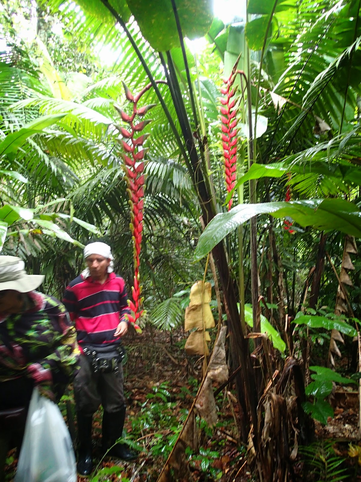 |
| Flowers |
This boat that cost tourists over $2,000 a week. Many similar boats cost over $6,000 a week.
Night sounds:

These are two of the boats we took. The covered one took us from Nauta to our lodge, close to the start of the Reserva Pacaya-Samiria. At less than 40 dollars a day.
We didn’t have air conditioning, but how could you need it? One of the
large boats (at $6,000 a week) left it’s gigantic generator on all
night. One fifth of the experience is lost with such interference. (Of
course this boat also has gigantic picture windows blocking all the
smells, winds so all that is left is the sight...and I guess the taste of
whatever food they serve.)
One of the rivers we traveled on. This was during the high water season. At the peak of high water season, in a month from our visit, the water should be one meter higher.
High water mark on the trees.
At that point there is one heck of a lot of water flowing through the Amazon basin. And remember this is the
beginning of the Amazon.
View of a river from the airplane. Note the oxbow lakes (dark blue) left when the river changes course and the many different lines which indicate how often the river changes it’s course. The river is brown.
A house sitting above the river. In the dry season they would be growing rice and fruit in this same area.
So if you ever want to travel on the Amazon I highly recommend our guide: May Jony Arriaga Chavez at Allpayacu Amazon tours. His English is excellent and he lives in and loves the Upper Amazon basin. The largest city he has been in is Iquitos, which does have about 500,000 people in the greater Iquitos area.


 Yes, I really was there.


